Betlen Geospatial
For Services
About
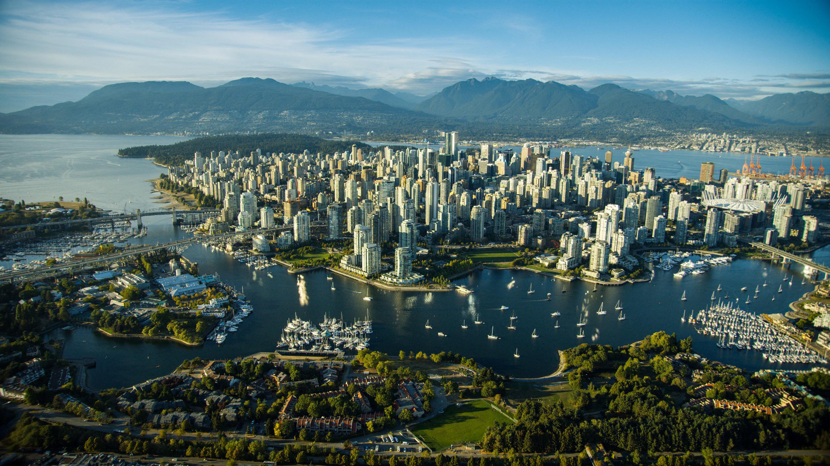
I’m a local GIS specialist and civil engineer based in Vancouver, Canada. Combining spatial data science, infrastructure experience, and policy insight to support better decision-making in land use, planning, and environmental projects.
Services
I offer geospatial services tailored to the kinds of problems that don’t always have a clear solution. Whether you need a one-off map, help fixing a zoning file, or want to build something interactive — I work with clients to bridge the gap between raw data and real-world decisions.
GIS Data Auditing
Review and validate existing planning layers like zoning, OCPs, and hazard maps. Identify gaps before they create problems downstream.
Custom Web Maps
Build interactive, shareable web maps tailored for public engagement, internal planning, or collaborative reviews — no GIS software required to use.
Map & Data Cleanup
Standardize attributes, fix geometry, and convert legacy files into clean, usable formats for analysis, display, or grant applications.
Field Data Collection Setup
Deploy customized forms to collect spatial data in the field with your phone or tablet — perfect for infrastructure mapping or inspections.
Spatial Analysis & Buffering
Need to check if a site falls within a floodplain or DPA? Run custom distance or risk analyses to support decisions, reports, or permit reviews.
GIS for Grant Support
Help communities and nonprofits meet funding criteria by producing the required maps, schema, or data summaries for grant readiness or reporting.
Contact
Betlen Geospatial offers boutique-scale GIS consulting services based out of BC, built to support small-to-mid scale mapping needs that often fall between the cracks. Whether it’s a one-time data fix, a planning map, or an idea you’re not sure how to implement — let’s talk. If it touches spatial data, I can probably help.
Address
Vancouver, British Columbia
Email Us
gabriel@betlengeospatial.com